Toronto Bikeways
Toronto’s growing cycling network consists of many different standards of infrastructure. We’ve broken down the cycling infrastructure (or lack thereof) into four categories:
- Protected bike lanes
- Painted bike lanes
- Contra-flow bike lanes
- Multi-use paths
- Streets without cycling infrastructure
- Sharrows
Protected bike lanes
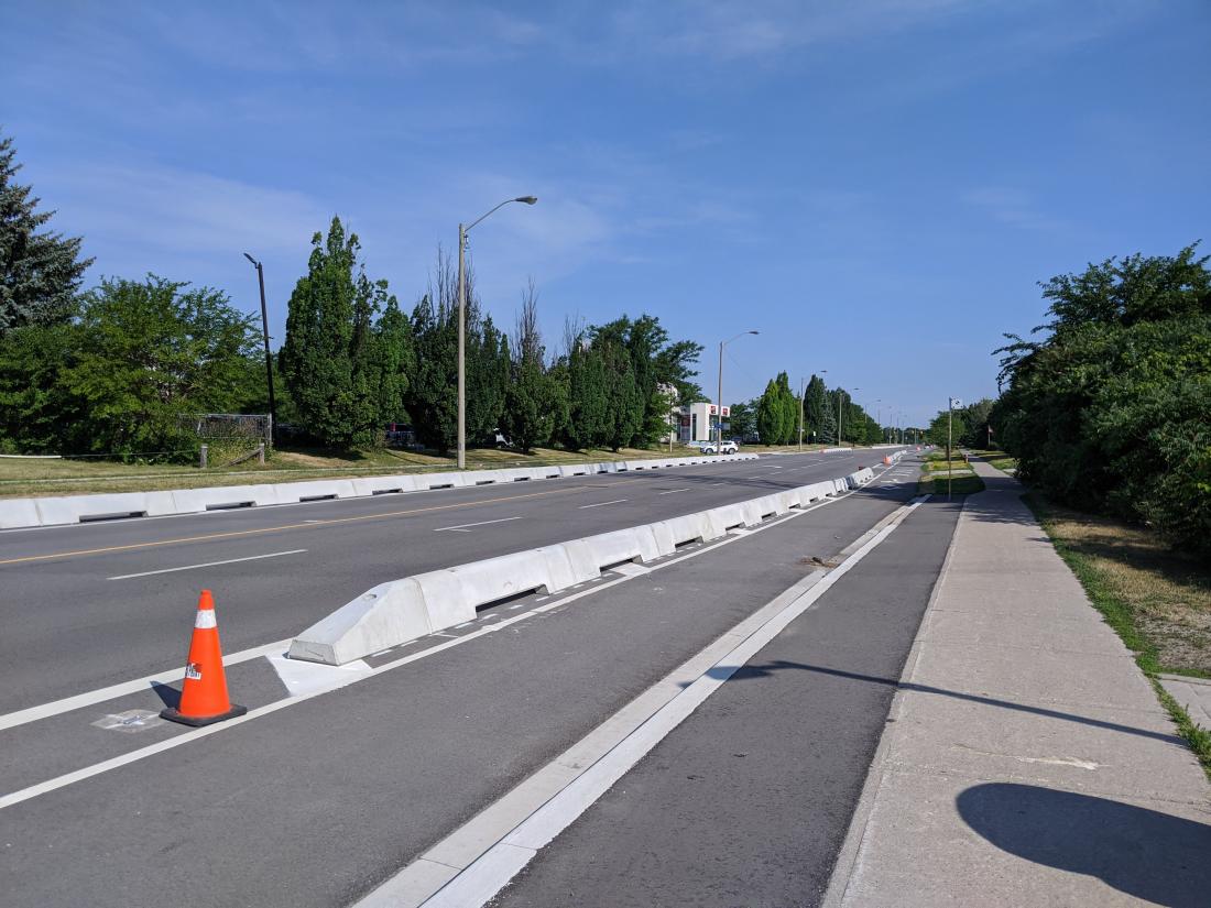
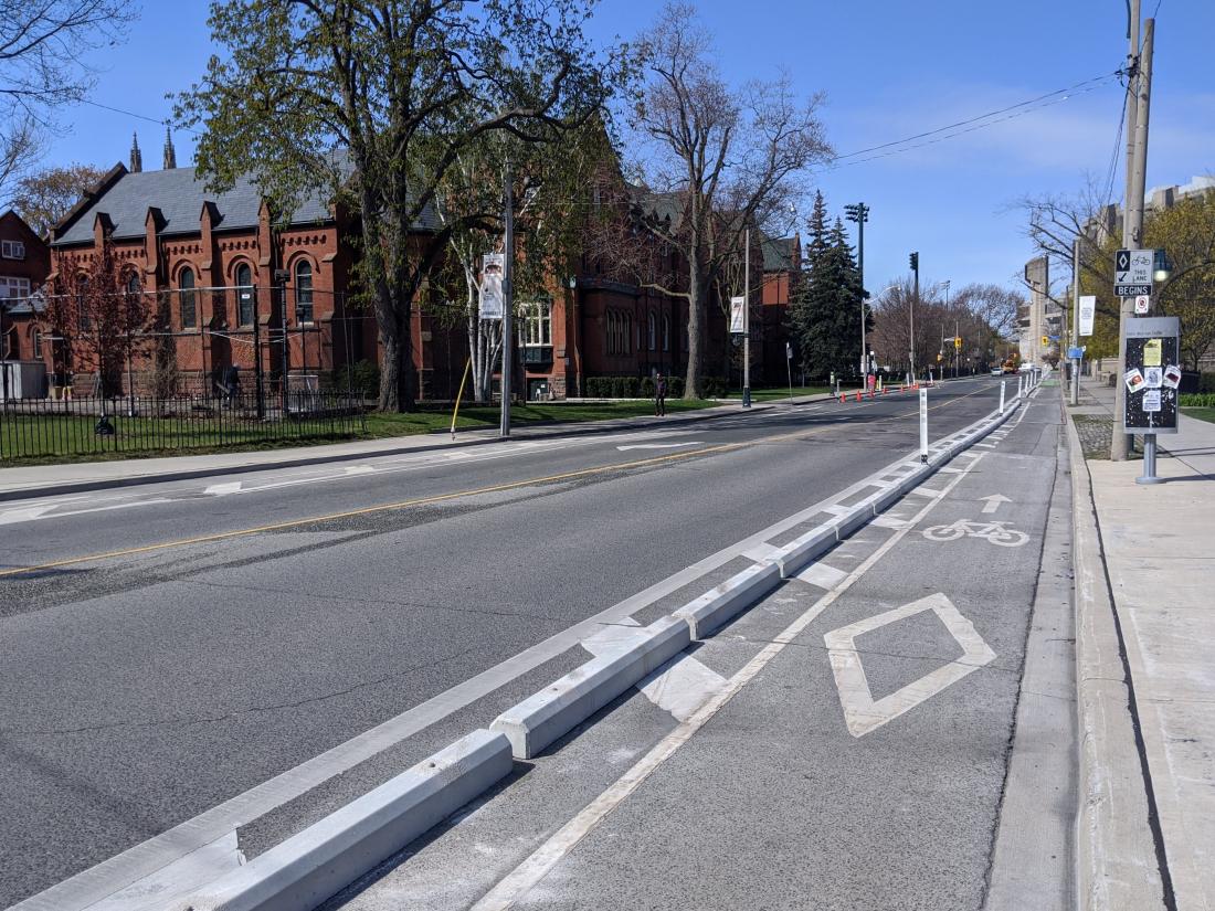
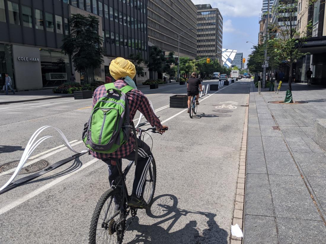
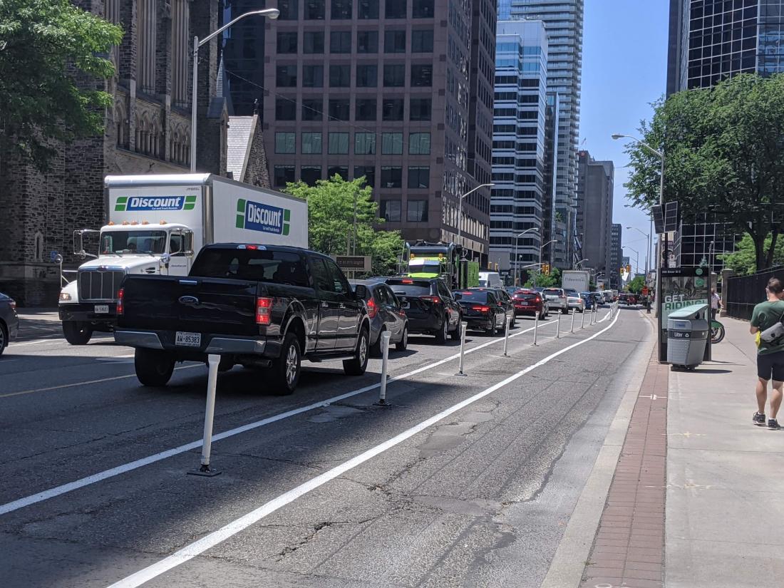
Protected bike lanes are physically-separated lanes for bicycles that run next to motorized vehicle traffic. These are the safest on-street places to ride in the city. The physical protection makes it difficult for vehicles to enter the bike lane and in some cases, the protection is good enough to stop out of control vehicles. Protected bike lanes are increasingly common in Toronto.
There are many different types of protection used in Toronto ranging from low concrete walls to flexi-posts. They are often used in conjunction with each other.
|
Low concrete wall Anchored to the pavement. Highest level of protection. Many are decoratively painted. |
Concrete curb and flexi-post Anchored to the pavement. Curbs prevent most drivers from entering the lane. |
|
Decorative barriers These vary in appearance and design. |
Flexi-posts Plastic posts anchored to the pavement. Designed to spring back into place when struck. |
Painted bike lanes
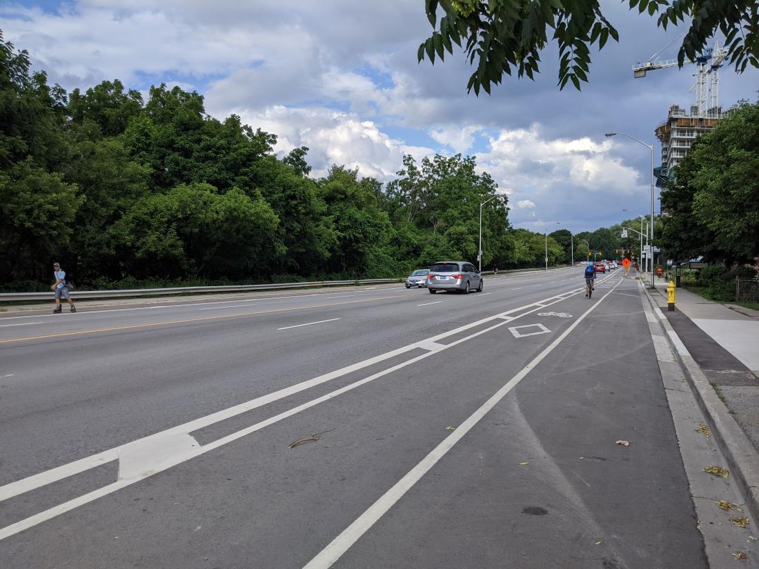
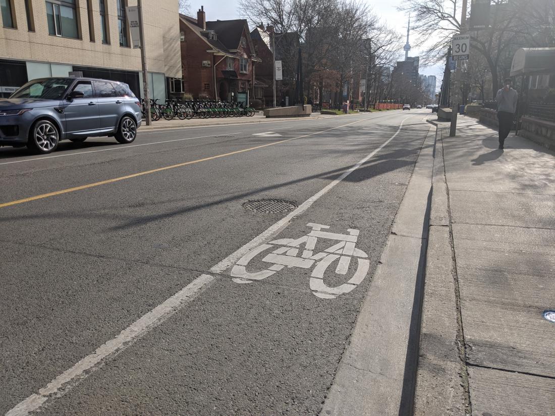
A painted bike lane is the most common type of cycling infrastructure in Toronto, and is indicated by the bike symbol and a solid white line. The solid white line tells motorists that they can't cross it and gives cyclists dedicated space on the road. A dashed white line indicates where a vehicle might have to enter the bike lane to make a right or left turn at an intersection.
|
Buffered bike lane Provides additional space between car traffic and the bike lane. Indicated by double white lines with hash marks. Parking is shown to the right of the bike lane. |
Traditional bike lane A single white line defines the boundary of the bike lane. |
Contra-flow bike lanes
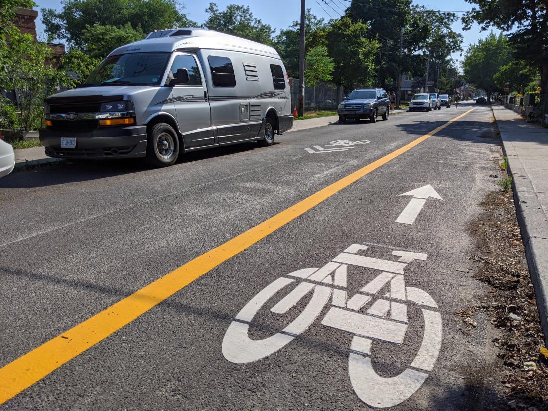
Contra-flow bike lanes work the same way as normal painted bike lanes and are often found on quiet residential streets. The main difference is that they are indicated by a solid yellow line and run in the opposite direction of car traffic. They help people on bikes navigate one-way streets by making them bi-directional.
Multi-use paths / trails
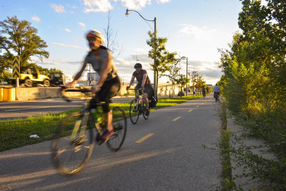
There are lots of trails and off-road paths in Toronto, and they are a great way to explore and integrate natural beauty into your routes. They are scenic, quiet, safe, and easy for beginner cyclists. Many offer great views of the lake, the Don River, the Humber River, and can be a quick break from the busy city.
Streets without cycling infrastructure
It’s legal to ride your bike on almost every road in Toronto. Many people choose to keep their rides on quiet residential streets to avoid high traffic areas, but this is entirely up to you. Sticking to quiet streets is possible in some neighbourhoods, but there are real barriers such as Toronto’s highways and many popular destinations are on wide, fast streets. Your level of comfort, speed limit, actual driving speed, width of the road and more should go into your decision to ride with car traffic. See our guide on how to plan a bike route for more information.
Sharrows
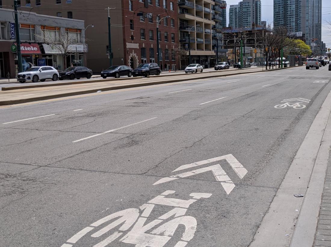
Sharrows are a bike symbol painted on the road with two forward-pointing chevrons. They serve as a wayfinding measure for people on bikes and legitimize the presence of bicycles on the road.
Discover new cycle-friendly routes using the Toronto Cycling Map!
You can view the Toronto Cycling Map online, or pick one up from City Hall, your local library, the nearest Civic Centre, or the Cycle Toronto office.
Header image: the Waterfront Trail at Queen's Quay, a multi-purpose trail that runs along Lakeshore Blvd through downtown Toronto. The trail gives great views of Lake Ontario, the Toronto skyline, and access to beaches along the waterfront! Photo by Martin Reis.
|
Many of Toronto’s new bike lanes are temporary as part of the city's pandemic response, ActiveTO. Sign the petition to show the city you want to make these bike lanes permanent. |

