
Cycling Infrastructure Outside the Core
Cycling continues to factor heavily into our daily lives, but many of us have changed how we get around, where we go, and why we ride. There is a lot of cycling infrastructure throughout the city; sometimes in places you might not expect! Explore these pieces of infrastructure by scrolling through some highlights in these photos and checking out the full list using our online map.
There is huge potential for suburban cycling and we know these select bike lanes and connections aren't enough. We'd like to see expansion of infrastructure throughout the city and more connections on the roads.
|
Poplar Plains Rd at St. Clair Ave W |
Finch Hydro Corridor Recreational Trail The Finch Hydro Corridor Recreational Trail provides a key east-west route in the north end of the city, particularly for those traveling to York University by bike! Photo by aa440 on Flickr. |
| Humber Trail underpass at Highway 401 Cycling under Highway 401 is a bit surreal--and also grade-separated! |
Ingram Dr and Kincort St Bike dots allow you to make a left-hand turn on a bicycle in an industrial neighbourhood. |
| Etobicoke Creek at Eglinton Ave A multi-use path runs along Eglinton Ave from Jane St to Spectrum Way and intersects with many other trails, bike lanes, and creeks. Photo by Rob Zaichkowski. |
Glen Cedar Rd The Glen Cedar Rd multi-use bridge traverses the Cedarvale ravine. |
| Suspension Bridge in Serena Grundy Park One of Cycle Don Valley Midtown's family rides, kids learn how to cross these bridges safely and avoid a dangerous exit into the parking lot. Serena Gundy Park is a favourite place to ride for Leasiders, offering both on-road and off-road cycling. Photo by Holly Reid. |
Brimley Rd and Lawrence Ave One of the well-thought out intersections connecting sections of The Meadoway in Scarborough. This crossing, which is nearly complete (it is just missing the bike stencil!) and includes bike signals, separate space for pedestrians and people on bikes, lots of space, and graded exits and entries to the multi-use paths. We can't wait for this to be finished up! Photo by Holly Reid. |
| Kilbarry Rd at Oriole Pkwy Crossing Oriole Pkwy is a lot easier with this bicycle-only channel. This is a popular and convenient route to get from Midtown to Downtown! |
Haney Park at Jane St and Haney Ave Switchbacks at Haney Park make it easier to climb one of the many hills in the Rockcliffe-Smythe neighbourhood. |
| Leaside Spur Trail at Lawrence Ave East of Leslie St, the Leaside Spur Trail (aka the Don Mills Trail) provides a useful north-south link between York Mills Rd and Eglinton Ave. Photo by Peter Low. |
York Mills Rd at Lesmill Rd Bike lanes on York Mills Rd provide a useful connection between the Leslie Spur Trail and the Betty Sutherland Trail via Lesmill Rd. Photo by Peter Low. |
| Gatineau Hydro Corridor at Kennedy Rd Picturesque sunsets are possible on the Gatineau Hydro Corridor. Photo by Michelle Kearns. |
Bayview Ave bike lanes at Lawrence Ave E This bike lane links York University's Glendon Campus north. We'd love to see bike lanes on Bayview continue to create a safe network to access the campus. Photo by Peter Low. |
| Lavender Creek Trail Tucked behind the Stock Yards is Lavender Creek Trail, a short east-west route that connects nicely with many other routes and trails around Black Creek. |
Lake Shore Blvd W Cycle Tracks Etobicoke was missing piece of the Waterfront Trail for many years; this gap was closed by building the Lake Shore Cycle Tracks. In October 2018, the Etobicoke South Cycling Committee held a celebration for the completion of the track. This photo is from the event. Photo by David Juliusson. |
| The Beaches along Martin Goodman Trail Cycling past the Beaches on the Martin Goodman Trail is a perennial favourite. The views of Lake Ontario and the easy access to ice cream make this a popular route. Photo by Michelle Kearns. |
Leaside Spur Trail A comfortable alternative to Leslie St, this trail runs north-south from York Mills Rd to just north of Eglinton Ave. Photo by aa440 on Flickr. |
| Waterfront Trail in Port Union near Rouge Hills Dr The Waterfront Trail extends to Rouge Park through Port Union. Photo by Kevin Cabral on Flickr. |
|


Find the infrastructure
We've mapped the locations of photos above and a few more! We've also made a few more notes with upcoming projects that will further connect these routes. Check them out!
Suggestions?
We're always looking to update this list. If you have a suggestion, please email us to let us know. We'll follow up to ask for a photo, location, and short description.
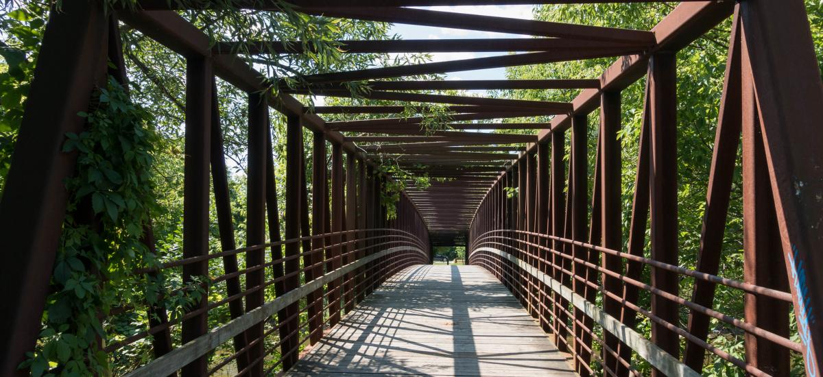
Header photo of the bridge over the Humber River Trail at Raymore Park by Gary J. Wood. Please share alike.
Would you like to see the network expanded across the entire city? Become a member! Memberships and donations of as little as $5 go a long way toward helping us achieve our goals.